34_35
Altmann 3468m
T von Hahn with F Amatter
and F Kaufmann,
An unimportant summit best climbed in combination with a
traverse of the Studerhorn. See Route 66.
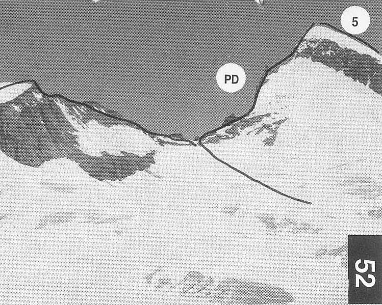
Grunerhorn 3438m and Scheuchzerhorn 3462m
E J Hiiberlin with
A and J Weissfluh,
6 TRAVERSE
D/PD The two peaks can be
combined in a traverse starting from the
bivouac or the Oberaarioch hut. From the former it is more difficult on
the excellent NW ridge of the Grunerhorn.
From the
ridge (2714m). Get
onto the ridge crest by slanting up Rwards over
snow and rock slopes. Easy climbing leads to
a sharp snow arete
which is followed to the SW ridge. Continue
on this to the summit
of the Grunerhorn.
3-4hr
From the Oberaarjoch
hut climb down to the col and then
cross the upper slopes of the Oberaar glacier N wards. Pass below
the two projecting ridges descending from Pts
3500m and 3437m
and climb the fairly steep snow slope SE of
the summit of the
Grunerhorn to join
the SW ridge. 2.5 hr
From the summit descend the NE ridge and
skirt round
Pt 3377.9mon its S side (can traverse it but
an unpleasant steep
ridge has to be descended) to a col at the foot of the W ridge of the
Scheuchzerhorn.
Climb this on mixed rock and snow to the
summit. 1hr
Follow the NE ridge which curves E to the Scheuchzerioch.
There is one short, but steep, S facing snow
slope to avoid the rock
of Pt 3352m. 30min
Descend to the Oberaarjoch
hut or the Lauteraar hut by
Route 7. Allow 6hr for the round trip from
the Oberaarioch hut and
8-9hr from the Aar bivouac.
First traverse by E von Fellenberg
with J Tiinnler and B Marti,
6 Sept
1877
The pass provides a means of connecting the Lauteraarhorn and
Oberaarjoch huts.
Fairly popularin spring with ski-tourers.
The
Tierberg glacier is quite steep low down and usually bare ice in
summer.
PD
From the Lauteraar
hut descend to the Unteraar glacier and cross it
to the the foot of
the Tierberg glacier. Keep to the L or the R on
entering the coombe and continue to a steepening in the glacier.
Follow the coombe
round to the L, to avoid the steepest part on its
E side, and get onto the flatter part of the
glacier at about 2800m.
Head SW (crevasses) to the bergschrund below the col. Cross it,
usually on the R, and climb a steep snow
slope to the col. If the
bergschrund is too
difficult or the slope above it too icy, it is better
to climb the rocks to the E of the slope to
the col. 3.5 hr
From the col climb
about 100m up the ridge running W then
traverse horizontally SW across the snow coombe. Near the foot of
the SE ridge of the Scheuchzerhorn
cross the ridge onto the snow
slopes on its W flank. Contour round the next
coombe, passing
below the ridges emanating fromPts 3437mand 3500m, and follow
the glacier below the E flank of the Oberaarhorn to the Oberaarjoch
and hut. 2hr, about 6hr in total
Brandlammhorn (East summit) 3089m
Miss S Koenig, R Koenig and C Montandon,
The Brandlammhorn has two summits with a distinctive gendarme
separating them. The E summit is the lower.
Descending S from the
twin cols between the summits is a steep snow couloir, although
rock becomes exposed at the end of the season
and in years of low
winter snow fall.
PD First ascent party
The route should only be attempted when the couloir is snow-filled.
From the Lauteraar
hut follow Route 11 to just below the snow-
patch under the Fellenberglicken. Traverse E again to the
snow/scree slope W
of the Brandlammhorn and gain the couloir.
Climb it and its R branch to the col between the E summit and the
gendarme. Continue up the W ridge to the summit.
4-5hr
AD H Lieberherr and H Stahelwith F von Bergen, July 1946
Good rock climbing with the added attraction of excellent views
over the Grimsellake.
From the Lauteraar hut follow Route 8 to the snow/scree slopes W
of the Brandlammhorn.
Descend SE to the foot of an obvious
couloir in the W
flank of the ridge (2.5 hr). Climb the rocks on the S
edge of the couloir,
keeping as close as possible to it (bits of IV-), to
reach the col just
N of Pt 2906m(45min). Follow the ridge crest as
closely as possible (mainly II with bits of
III) until about 100m from
the summit, where there is a steep step 15m
high (piton belay).
Climb direct for 4m to a small ledge, then
make a big step R to a
narrow ledge from which good holds lead back
to the crest and a
large block (IV+). Easier climbing leads to
the summit. 5-6hr from
the hut
34_35