138_139
Sackhorn 3212m, Hockenhorn 3293m,
Tennbachhorn 3012.9m
These three peaks give some pleasant outings when higher peaks are
not in condition.
The Sackhornisworth climbing by its SW ridge(AD)from the
Miirligliiche (reached by a couloir). There are five gendarmes on the
ridge. The first is easy. Keep to the crest for the next three (III) and make
a 20m abseil from the fourth. Climb slightly R to the top of the last (III).
About 6hr from Lauchernalp. The NE rid ge is easy to descend.
The NE ridge of the Hockenhorn is AD and is climbed from the
gap SW of Pt 2996m. The summit rocks can be turned on the N or S.
4 1/2 hr from Lauchneralp. Descend the SW rid ge to the Lotschenpass.
Alternatively descend the S flank, starting down just before reaching the
Kl Hockenhorn, over snow patches and slabby rocks, heading W of
Pt 3758m.
The Tennbachhorn has good climbing on its E ridge. This is
reached from Weritzstafel by climbing N over pastures to stony slopes
between the S and E ridges. At about 2500m turn R and climb to the
Tellihorn. Follow the crest (slabby rock, some III) to the summit. 3.5 hr.
Descend to the gap between the two summits and climb down the couloir
on the E side back to the stony slopes leading to Weritzstafel.
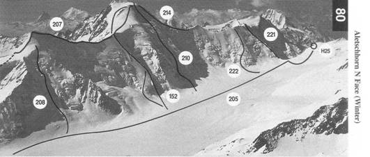
Aletschhorn Group and Peaks South of
the Lotschental
In this section climbs described are on the long chain of mountains
whose N flanks end either in the Grosser Aletschfirn or in the
Lotschental. They form a high-level ridge which at no point falls
below 3000m and which has very few easy crossing places. Those
peaks in the eastern part are surrounded on three sides by the great
Aletsch glacier. Those in the western part descend eventually into the
Rh6ne valley.
The Aletschhorn dominates the whole group although the
Bietschhorn in the W of the section stands out as an isolated peak
considerably higher than anything close to it.
The climbing varies greatly, but covers good quality rock
routes of various grades as well as a whole spectrum of climbs on
snow and ice, including some classic and serious routes. The quality
of the rock varies enormously from the perfect granite of the
Torberg to something much less pleasant in places on the
Bietschhorn. Like the rest of the eastern parts of the Oberland there
are some long approaches to huts and to routes, especially if you
don't use mechanised transport.
Maps covering this section are: Visp (274) and
An important high level pass, glaciated on both sides, giving access
to the central area of the Oberland from the Lotschental. Much less
frequently traversed in summer than in winter, when ski parties
make frequent crossings of the pass (mainly from E to W). The
Hollandia hut is sited about 50m above the pass on the N side.
F
From Fafleralp walk up the path on the N side of the river for about
250m then cross the river at the bridge and continue by a good path
above the S bank to the tongue of the Lang glacier. Climb the S side
of the glacier to a height of about 2400m before working into the
middle of it. Keep in the middle to an easing of the angle at about
2600m then slant a bit L towards the rocks S of Chrumme Rigg.
Below these take a direct line towards the pass by climbing the N
side of the glacier and so avoiding a crevassed zone below Grossi
Tola. From this plateau climb straight up to the pass. 6-8hr
205
F From the Konkordia hut cross Konkordiaplatz (which can be
80 waterlogged in the afternoon) and climb the L side of the Grosser
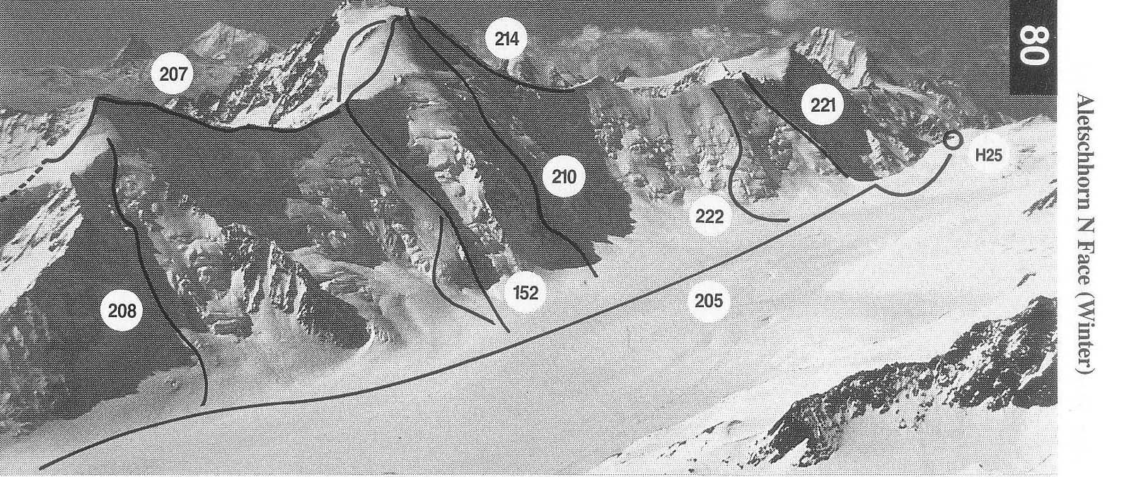
Aletschfirn to the pass. 2 V2hr
If coming from the Jungfraujoch, reach the SE corner of the
Kranzberg and climb the R side of the Grosser Aletschfirn to the
pass. 4-5hr
138_139